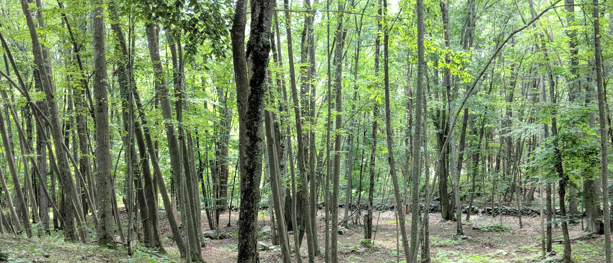
Well Son, our farm is called Nashaway Trail Alpacas because we are on the Nashaway Trail.
What is that? you ask. It is the native trail the governor first traveled in 1643 out from Boston to Nashaway. Most people know Nashaway by its English name, Lancaster.


I attended Lisa Brooks’ April presentation in the Nashoba Regional High School auditorium, It got me interested and I found this online
https://ourbelovedkin.com/awikhigan/interlude-nashaway
I have a few questions about the map they show for Nashaway
Specifically if the path shown from Sudbury to Lancaster is the actual route relative to the water bodies on the map?
It appears to be following the “New Lancaster Road” of 1715 as we see it passing north of Crow Island in the Assabet River in Stow
Instead of along the older “Old Lancaster Road” south of Crow Island
It is my understanding that the “Old Lancaster Road” was laid out along the “Nashaway Trail”
Which makes me wonder how the path on the map was determined?
Also how the water features were located
There does not appear to be anyway to contact the author or the contributors
interesting history, hope you get the answers your searching for
I emailed Tim Castner the Social Studies Teacher at Nashoba. He knows Lisa Brooks.
He forwarded my email on to her.
He also had this to say:
“Wherever men have lived there is a story to be told, and it depends chiefly on the story-teller or historian whether that is interesting or not. You are simply a witness on the stand to tell what you know about your neighbors and neighborhood.”
Henry David Thoreau –Journal March 18, 1861
Thank You Mr Castner
I have been trying to retrace the earliest path, trail, road through the area.
Here is what I know about the neighborhood.
There Was no major damming of the Assabet before King Philips War
1700 Hudson Downtown at the time the Lancaster – Marlboro Boarder
1750 Gleasondale Mill at the time the Marlboro – Stow Boarder
1840 Maynard Mill at the time Assabet Village the Stow – Sudbury Boarder
The section of the Assabet in question did not see impoundment until 1840
1675 Lancaster included Bolton and there was no Stow. As the story goes, there were only two in the Pompositicut Territory. Boone by the pond now lake bearing his name and Kettle who owned land on what is now Maple St in Stow.
But at the time of the raids was Kettle still living in the Lancaster second division home of Abram Joslin in what is now Bolton?
Were he and the boys in Bolton While the Mrs and girls sought protection in the big Rowlandson Garrision House in Lancaster?
Is that how they got separated?
How did the girls escape and make it to the Marlboro Garrision House?
Why were Kettle and his sons reported dead?
Back to what I do know about the neighbors
With so few settlers common sense tells me to connect the dots to find the road.
From Joslins onto the Keyes Place now on Hudson Road in Bolton…
And then to Century Mill… and then the Moore Garrison on Farm Rd…
and further along Old Bay Road…. Past the Post Philip Lancaster Old Common near five corners…
Then across the Nashua onto the Neck, at the site near the monument on Neck Road.
Although it is hard to read Today, it says we crossed near that spot until 1800.
I spoke with Roger Breeze a couple years back about this subject we never finished our conversation. He runs the Local History Discussion at the Bolton Library.
Let’s contact him and see if he would want to discuss this topic at one of his meetings.
Mr Castner says:
“The Thayer Memorial Library just digitized an early annotated history of the town (Lancaster) which likely has some useful information.
https://thayermemoriallibrary.org/lancasters-history/.
Good luck on your search“
I’ve got my Genealogy from the Alpaca Registry International
Think Roger knows anything about my ancestors?